Sunset Dunes
An oceanfront park between Lincoln and Sloat.
Ninth and Irving, the outer avenues, and the Pacific beyond.
Ninth and Irving, the outer avenues, and Parkside each give a Sunset search a different center. Compare the home’s layout with the park, transit, and ocean routes you will use.

A deeper
sense of home.

An oceanfront park between Lincoln and Sloat.

A rail route from the avenues across the city.
A neighborhood stop close to the ocean.
The Sunset’s 1925–1950 residential history includes rows of single-family houses in Mediterranean Revival, Tudor, Streamline Moderne, and other styles. Bowed fronts, stucco, and living space over a garage are recognizable forms. Similar façades can conceal very different room arrangements and later alterations.
The N Judah and Irving Street center the comparison, with Golden Gate Park to the north. Check the route from the home to the stop and park entrance.
Use the western avenues, Hook Fish, and Sunset Dunes to compare an ocean-oriented routine with the trip back across the city.
Farther south, Taraval forms a separate transit and commercial corridor. Compare the L Taraval route with an N Judah address rather than treating them as the same trip.
Opened in April 2025, the oceanfront park extends between Lincoln Way and Sloat Boulevard. Explore the current park and its access points.
Explore Sunset DunesThe route connects the avenues with Ocean Beach, Cole Valley, and downtown. Choose the stop that fits your day, then test the walk home.
N Judah route & stopsHook Fish is at 4542 Irving, at 47th Avenue. This outer-avenue stop helps put the route between a home and the oceanfront into perspective.
Hook Fish locations2020–2024 American Community Survey
Combined city statistical areas, covering Inner Sunset and Sunset/Parkside. Golden Gate Park and Lakeshore are separate areas and are not included.
Estimates with approximate 90% margins of error shown below.
39,132
Occupied housing units, equivalent to households.
±1,045
58%
Share of occupied housing units that are owner-occupied; the remainder are renter-occupied.
±1.9 percentage points
63%
Share of all housing units in one-unit detached or attached structures. This describes the building, not its legal ownership form.
±2.2 percentage points
25%
Share of workers age 16 and over whose usual commute was by public transit, walking or bicycle. The denominator includes people working from home and excludes people who were not workers.
±2.0 percentage points
Five-year survey estimates, not a current headcount or a measure of homes for sale. Figures describe the geography named above. Margins shown are approximate 90% margins of error; small differences may not be meaningful.
San Francisco figures combine Census tracts assigned to the named city analysis areas. Marin uses the published county totals. Table links show the underlying geographies.
These estimates describe an area, not the people in a particular building or what a home is worth. They are not live market figures.
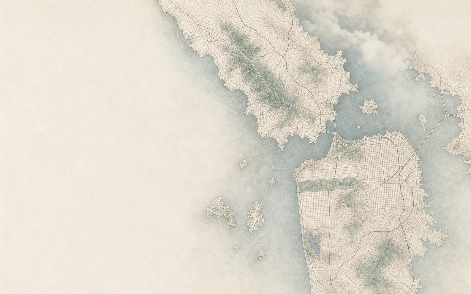
Maps are generated artistic illustrations informed by public geographic data, for general orientation rather than survey-accurate boundaries. Use the street-map link for location details. Sources: City of San Francisco, Marin County, U.S. Census Bureau and © OpenStreetMap contributors.
A closer look
Ninth and Irving provides an Inner Sunset center on the N Judah. Farther west, compare the outer avenues with your route to the ocean. Parkside’s Taraval corridor has the L Taraval, a separate rail route. Look at the particular stop, destination, and house layout before making a price or convenience comparison.
No single style describes every home. SF Planning’s Sunset historic survey covers single-family houses built from 1925 to 1950 and identifies properties that were not evaluated. Check an individual home’s records rather than inferring its age or status from the neighborhood.
Compare the available permit and planning records with the disclosures and the actual layout. Ask the appropriate professional to clarify discrepancies before assuming an added room has an approved use.
Sunset Dunes is the oceanfront park between Lincoln Way and Sloat Boulevard that opened in April 2025. Its official page has information on the park and evolving improvements; check it when planning a visit.
Available homes
Live residential inventory in and around the Sunset across ZIPs 94116 and 94122.
Loading homes
Loading The Sunset listings.
You can also open home search while the listings load.
Listing information is provided by the applicable multiple listing service and is deemed reliable but not guaranteed. Availability and property details may change without notice.
Send Nader an address or a few priorities. Start with a conversation about what matters to you.