Skip to content
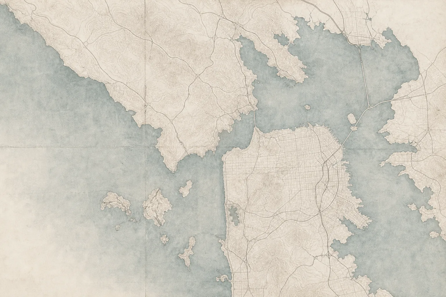
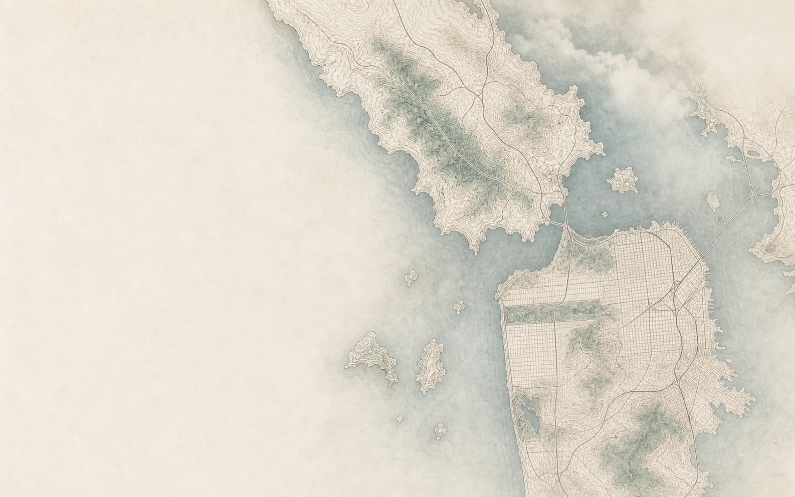
San Francisco and southern MarinAI-illustrated north-up orientation map informed by public geographic data. Trees and terrain are artistic. Neighborhood names indicate general areas, not exact boundaries; use the street map for directions.Pacific HeightsThe MarinaCole ValleyNoPaThe RichmondThe SunsetMARIN COUNTY

Find your
corner of
the Bay.

A deeper sense of home.

Image & map notes

Neighborhood cover images are AI-generated illustrations inspired by each area’s character. They do not depict specific homes or exact viewpoints. The individual guides include sourced photographs.

Maps are generated artistic illustrations informed by public geographic data, for general orientation rather than survey-accurate boundaries. Use the street-map link for location details. Sources: City of San Francisco, Marin County, U.S. Census Bureau and © OpenStreetMap contributors.

    Choosing an area.

    Where should I begin if I am choosing between San Francisco and Marin?

    Begin with the places you need to reach, the home and outdoor space you want, and your overall budget. Explore a few areas in person and compare the complete daily route, not just the distance on a map.

    Do these guides define exact listing boundaries?

    The guides provide area context. Each home search identifies its coverage, which may include nearby homes or a broader ZIP code. Check the individual listing address and the search criteria when comparing results.

    Can Nader help me compare homes in different areas?

    Yes. Share the homes you are considering and what you need from your move. Nader can help you compare the property details, location, and recent sales that are relevant to your decision.

    See what is available.

    Explore homes on the map, or talk with Nader about where to start.