Skip to content

Cole Valley

A café on Cole. The N Judah on Carl. Hills close by.

Carl and Cole bring cafés and the N Judah together. A few blocks away, Grattan and the streets climbing toward Tank Hill offer a different setting for the home search.

Cole Valley rooftops at sunset, viewed from Tank Hill.

A deeper
sense of home.

Cole Valley rooftops at sunset, viewed from Tank Hill. · 2017

Get to know the neighborhood

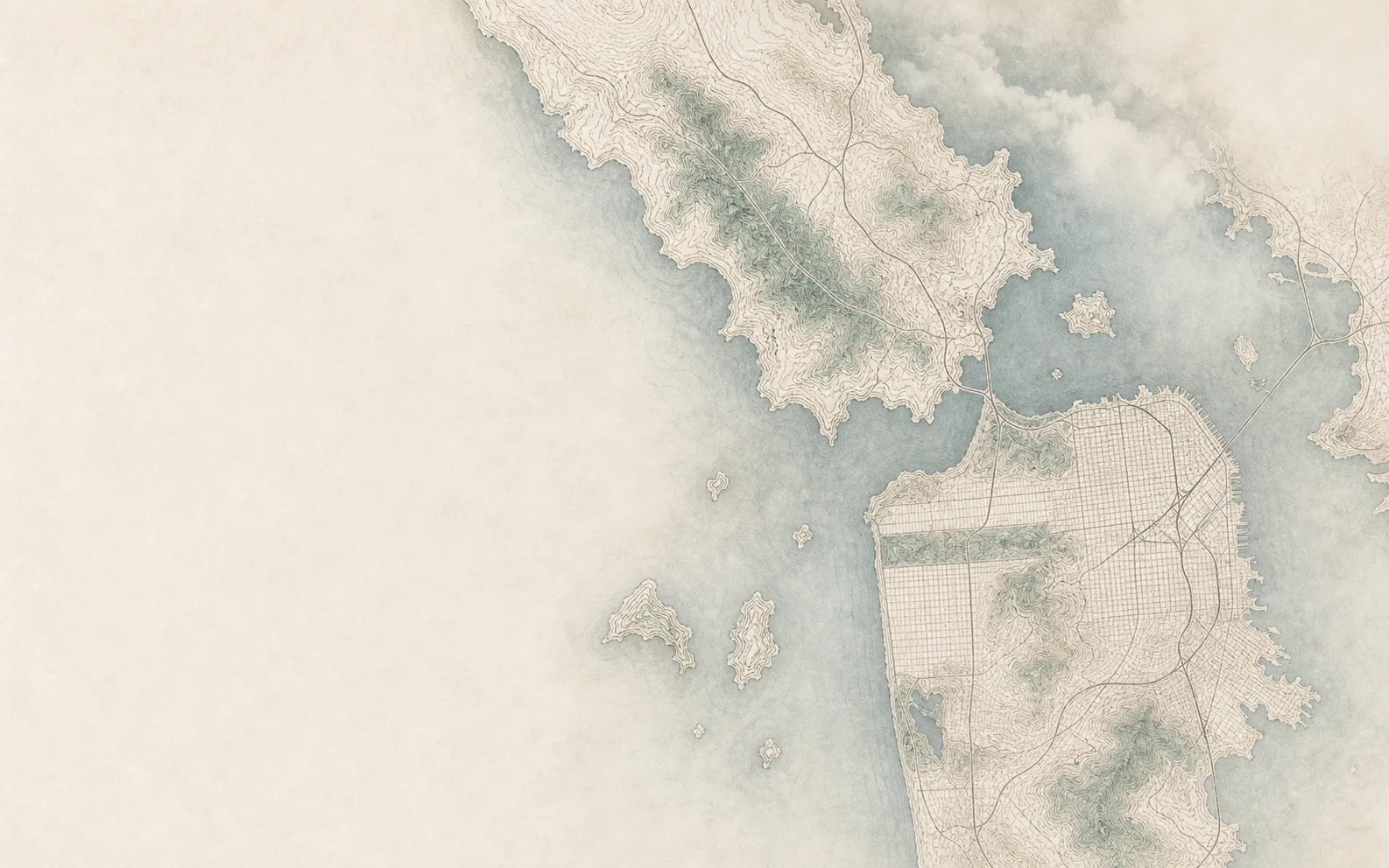
Cole Valley area mapAI-illustrated north-up orientation map informed by public geographic data. Trees and terrain are artistic. Neighborhood names indicate general areas, not exact boundaries; use the street map for directions.Cole StGrattan PlaygroundBuena Vista ParkGolden Gate ParkCole Valley
Illustrated area mapOpen street map

Local highlights

An inbound N Judah train at the Carl and Cole stop.

Carl & Cole

A neighborhood center on the N Judah.

Grattan Playground

A local playground among residential blocks.

The corner of Carl and Cole Streets at twilight.

Cole Street

A café stop and a walk along Cole.

Homes & places to compare

Houses beside small multi-unit buildings

Cole Valley includes single-family homes and buildings with two or more homes. SF Planning’s Grattan Street review documents that mix, while the Haight–Cole Valley architectural context includes Victorian and Edwardian apartment forms. Compare the whole building with an individual flat before drawing conclusions from square footage.

Carl & Cole

Cafés and the N Judah meet at the center. Include rail activity and the orientation of the main rooms when viewing a nearby home.

Grattan & Stanyan

Compare houses and smaller multi-unit buildings around Grattan Playground, with the walk north toward Carl Street as part of the visit.

Uphill toward Belgrave

On the adjoining heights, the route toward Tank Hill adds steps and elevation. Compare the climb and garage access with the home’s outlook.

Carl & Cole

The N Judah stops here on its route between Ocean Beach and downtown. Check current service against the trips you make most often.

N Judah route & stops

Grattan Playground

At 1180 Stanyan Street, the park brings a field, courts, picnic space, and a playground into the neighborhood routine.

Explore Grattan Playground

Cole Street · Zazie

Zazie, at 941 Cole Street, serves brunch and dinner. This stretch gives a visit a useful center before walking toward Grattan or the uphill streets.

Zazie location & menus
Explore available homes

Neighborhood at a glance

2020–2024 American Community Survey

Haight Ashbury analysis neighborhood

Broader-area context for Cole Valley. These figures describe the city’s Haight Ashbury statistical area, not Cole Valley alone.

Estimates with approximate 90% margins of error shown below.

Households

8,128

Occupied housing units, equivalent to households.

±509

Owner-occupied homes

29%

Share of occupied housing units that are owner-occupied; the remainder are renter-occupied.

±2.5 percentage points

Homes in single-unit buildings

14%

Share of all housing units in one-unit detached or attached structures. This describes the building, not its legal ownership form.

±2.9 percentage points

Transit, walk or bike to work

33%

Share of workers age 16 and over whose usual commute was by public transit, walking or bicycle. The denominator includes people working from home and excludes people who were not workers.

±5.5 percentage points

Sources & how to read these figures

Five-year survey estimates, not a current headcount or a measure of homes for sale. Figures describe the geography named above. Margins shown are approximate 90% margins of error; small differences may not be meaningful.

San Francisco figures combine Census tracts assigned to the named city analysis areas. Marin uses the published county totals. Table links show the underlying geographies.

These estimates describe an area, not the people in a particular building or what a home is worth. They are not live market figures.

Photography & map notes

Maps are generated artistic illustrations informed by public geographic data, for general orientation rather than survey-accurate boundaries. Use the street-map link for location details. Sources: City of San Francisco, Marin County, U.S. Census Bureau and © OpenStreetMap contributors.

A closer look

Questions worth asking.

Can I take the N Judah from Cole Valley?

Yes. The published N Judah route includes Carl and Cole, with connections toward Ocean Beach and downtown. Check the live route page for current stops, service changes, and the timing of your trip.

What changes as I head uphill from the village center?

The walk toward Belgrave and the adjoining heights introduces more elevation and stairs. Tank Hill has an approach from Belgrave, documented by SF Rec and Park. Try both directions between a home and Carl and Cole, and check the entrance and parking approach rather than assuming the whole area walks like the center.

Are a flat and a condo the same thing?

Not necessarily. “Flat” describes a layout and does not establish the legal ownership structure. Confirm what is being sold, its title and governing documents, and any shared responsibilities before making comparisons.

How can I investigate renovations or historic status?

Use SF Planning’s Property Information Map to begin checking available planning and historic-resource records. Review the property disclosures and obtain address-specific advice before assuming an alteration or future project is permitted.

Available homes

Explore Cole Valley.

Live residential inventory in and around Cole Valley across ZIP 94117.

Open full search

Loading homes

Loading Cole Valley listings.

You can also open home search while the listings load.

Listing information is provided by the applicable multiple listing service and is deemed reliable but not guaranteed. Availability and property details may change without notice.

Considering a home here?

Send Nader an address or a few priorities. Start with a conversation about what matters to you.

Talk with Nader